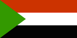
Population: 31,095 million hab.
Density: 12 hab. /km2
Surface: 2 505 813 km2, it's the largest african country
Capital: Khartoum
Principal cities: Omdourman, Sudan Port, Wadi-Halfa, Atbarah, Ouad-
Médani, Kosti, Juba
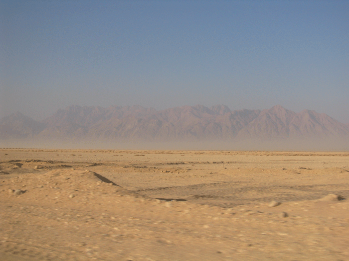
Relief: Libyque desert, Desert of Nubie, Mountains of the Red Sea,
Plate of Kodofan, Plate of Darfour
Summits: Mount Kinueti 3187, Mount Spree 1500 m
Volcanos: Djebel Marra 3088 m
Spoken language: Arab, English, more than 100 Dialects
Currency: Dinar
Statute: Republic
Close countries: Egypt, Erythrée, Ethiopia, Kenya, Uganda,
Congo, Chad, Libya, Central African Republic
Principal rivers: White Nile, Blue Nile, The Nile.
Seas: Red Sea, The Mediterranean
Precipitations in Sudan: That goes from desert up to 2000 mm per annum in the South during the rain season (from April at October).

The White Nile or Bahr el-Abiad: Name given, in Sudan,
with a portion of the Nile of approximately 800 km length, between Malaska
and Khartoum. It is navigable throughout the year. Close to Khartoum,
the river is dammed up by the stopping Jabal Awliya which is déstiné
with the irrigation.
The Blue Nile or Bahr el-Azrak: River of North East of Africa,
an approximate length of 1370 km. It takes its source at an altitude of
approximately 1830 m in the area of the lake Tana, in the North-West of
Ethiopia, then runs in Ethiopia towards the South, before being inclined
towards the West. Its course takes, in Sudan, a North-western direction
before mixing, in Khartoum, in Bahr el-Abiad to form the Nile. Bahr el-Azrak,
which brings approximately two thirds of water of the Nile, is known in
Ethiopia under the name of Abbaï; it runs partly through large throats.
In Sudan, the river is dammed up for the irrigation and the production
of hydro-electricity.
Medi, Céline et Ophélie
from the college Jean Cocteau in Maisons-Laffitte, France